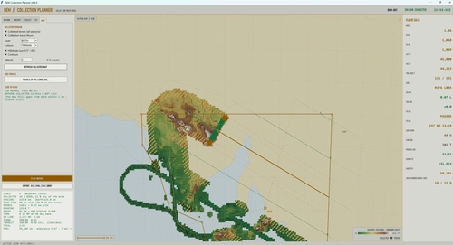
Digital Elevation Collection
Digital Elevation Collection is a tool for Microsoft Flight Simulator that enables users to plan and conduct terrain elevation surveys using fast jets. The add-on tracks ground height with up to 64 invisible probe objects across wide areas, generating elevation data in ESRI ASCII grid format. The collected elevation tiles are named by location and can be used in GIS applications or other compatible MSFS planning tools. Additional features include customizable collection lines, persistent coverage maps, and terrain visualization with various map options.
Download Links
Report a problem
Digital Elevation Collection
Advertisement
Remove ads