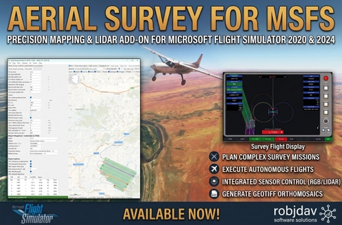
Aerial Survey for MSFS
Aerial Survey for MSFS is a companion tool for Microsoft Flight Simulator 2020 and 2024, designed for realistic aerial survey mission planning and execution. Modeled on the RIEGL VQ-1560 II-S LiDAR system, it enables users to plan and optimize survey routes, export flight plans, and fly missions with real-time pilot displays. The tool supports terrain following, quality assurance reports, and coverage gap analysis. Compatible with various survey aircraft, it offers features for both structured projects and random practice missions across the world.
Download Links
Report a problem
Aerial Survey for MSFS
Advertisement
Remove ads