1 / 5
Île-de-France (przedmieścia Paryża) Mapa 1:1 v0.1.6e ETS2
Île-de-France (przedmieścia Paryża) Mapa 1:1 v0.1.6e ETS2
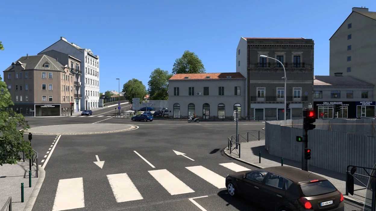
Samodzielna mapa Paryża Skala 1:1 Obejmuje miasta Rosny-sous-Bois, Charenton-le-Pont, Saint-Mandé, Vincennes, Bagnolet i Villiers-sur-Marne, a także 12. i 20. dzielnicę Paryża Autostrady A3, A4, A86, A103 i A186 Zawiera firmy ze świata rzeczywistego: SNCF, Bercy 2, La Poste, Carrefour, Eiffage, SFCP, Westfield Rosny 2, Marché Grand Frais, Castorama i firmy rolnicze w Rosny-sous-Bois Piękne widoki Realistyczne wymiany walut
Dostosowano do wersji 1.61 Naprawiono błędy
Download Links
Report a problem
Île-de-France (przedmieścia Paryża) Mapa 1:1 v0.1.6e ETS2
Advertisement
Remove ads